Geographic Information Systems (GIS) is included in the B.C. curriculum as a suggested activity and topic. In Physical Geography 12 (under Social Studies), GIS is a suggested activity under the curricular competencies of using “geographic inquiry processes and geographic literacy skills to ask questions; gather, interpret, and analyze data and ideas from a variety of sources and spatial/temporal scales.” In Human Geography 12 (under Social Studies), the curricular competencies also suggest using GIS to examine “geographic inquiry processes and skills to ask questions; gather, interpret, and analyze data and ideas; and communicate findings and decisions.” A provided sample topic is under this curricular competency is the application of “mapping software and GIS tools.”
Even though these are suggested topics and activities, I would recommend implementing the use of GIS earlier, even as early as Grade 9. I think it would be far more engaging for students to complete maps using a program like GIS, instead of the map-colouring I’ve witnessed during my visits to Belmont Secondary, an activity which dates back to my secondary school experiences. As long as the program is installed on the available laptops and the desired geographic layers are also installed, the implementation of simple mapping activities could commence.
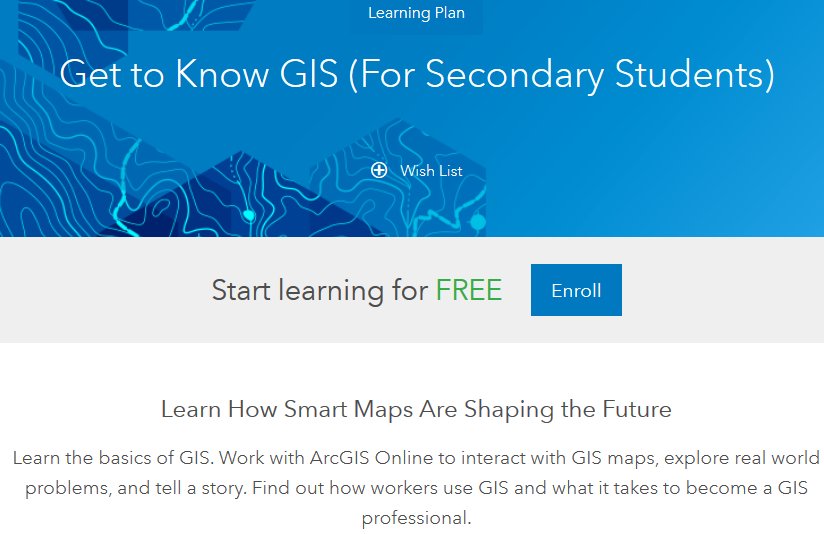
Here is a good resource for interested educators: Get to Know GIS (For Secondary Students)