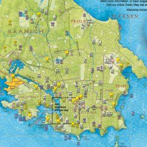
GIS and the B.C. curriculum

Geographic Information Systems (GIS) is included in the B.C. curriculum as a suggested activity and topic. In Physical Geography 12 (under Social Studies), GIS is a suggested activity under the curricular competencies of using “geographic inquiry processes and geographic literacy … Read More
Applications of GIS

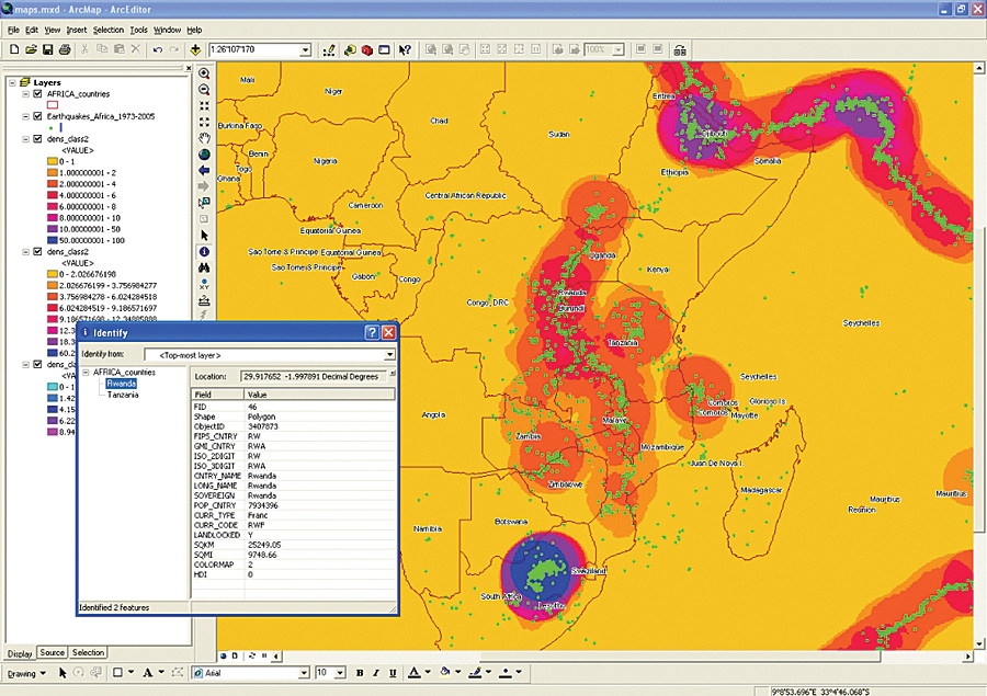
GIS (Geographic Information Systems) have a broad application, mapping is the most well known, but there are many other applications. GIS can be used in archaeology, telecom and network services, accident analysis, urban planning, transportation planning, environmental impact analysis, agricultural … Read More

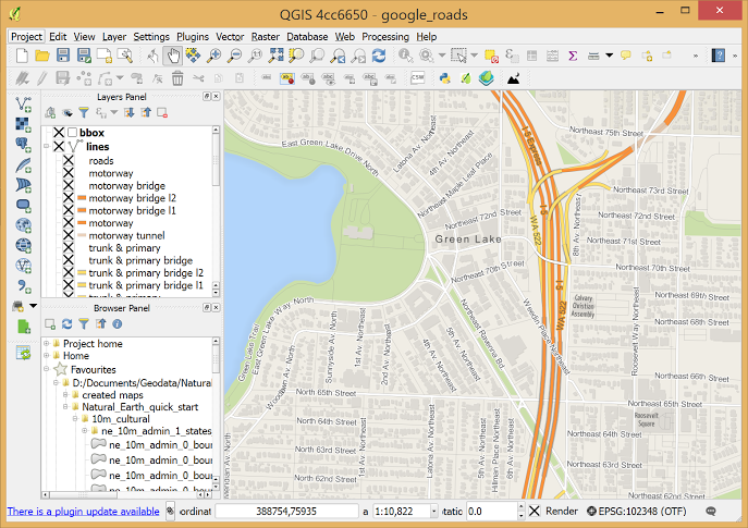
What is QGIS?

A geographic Information system (GIS) is a program that enables us to collect, manage, store, analyze and present data. GIS is embedded in the geographic sciences and promotes the visualization of patterns, relationships and events by analyzing spatial locations and … Read More